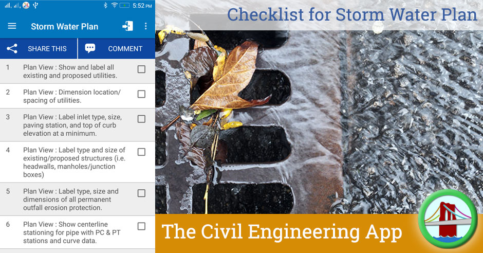
This checklists ensures all required information is included in Storm Water Plan for the city or industrial facility.
| Sr | Check Item | Done |
| 1 | Plan View : Show and label all existing and proposed utilities. | |
| 2 | Plan View : Dimension location/spacing of utilities. | |
| 3 | Plan View : Label inlet type, size, paving station, and top of curb elevation at a minimum. | |
| 4 | Plan View : Label type and size of existing/proposed structures (i.e. headwalls, manholes/junction boxes) | |
| 5 | Plan View : Label type, size and dimensions of all permanent outfall erosion protection. | |
| 6 | Plan View : Show centerline stationing for pipe with PC & PT stations and curve data. | |
| 7 | Plan View : Label centerline stations for lateral connections, manhole & junction box locations, pipe size changes, headwalls, and future stub out connections. | |
| 8 | Plan View : 100-yr gutter flows and bypass shown at each inlet along public streets and fire lanes. | |
| 9 | Plan View : FEMA 100-yr floodplain and Fully Developed 100-yr floodplain shown. | |
| 10 | Plan View : Provide applicable construction details for all drainage structures. | |
| 11 | Profile View : Existing and proposed ground line at centerline of pipe shown and labeled correctly | |
| 12 | Profile View : Show all hydraulic data including pipe flow, pipe capacity, hydraulic slope, velocity, velocity head, and partial flow data if under partial flow conditions (velocity and flow depth). | |
| 13 | Profile View : Label station and flowline elevation information for all structures, crossings, laterals, etc. | |
| 14 | Profile View : Label flowlines at every 50 foot station. | |
| 15 | Profile View : Indicate length, type/class, slope and size of all storm pipes. | |
| 16 | Profile View : Show and label 100-yr and/or 10-yr HGL, label HGL elevations at all junctions. | |
| 17 | Profile View : All utility crossings and parallel sewer lines shown in profile. | |
| 18 | Profile View : 100-yr WSE shown at outfall for ponds, creeks and channels. |

